Map of the Évora city
Map of the Évora city with relevant tourism information, here
Place of the check-in
Colégio Luís António Verney
Rua Romão Ramalho 59, Évora
7000-671 Évora
GPS coordinates of Colégio Luís António Verney: 38.56888561282368, -7.910400290748128
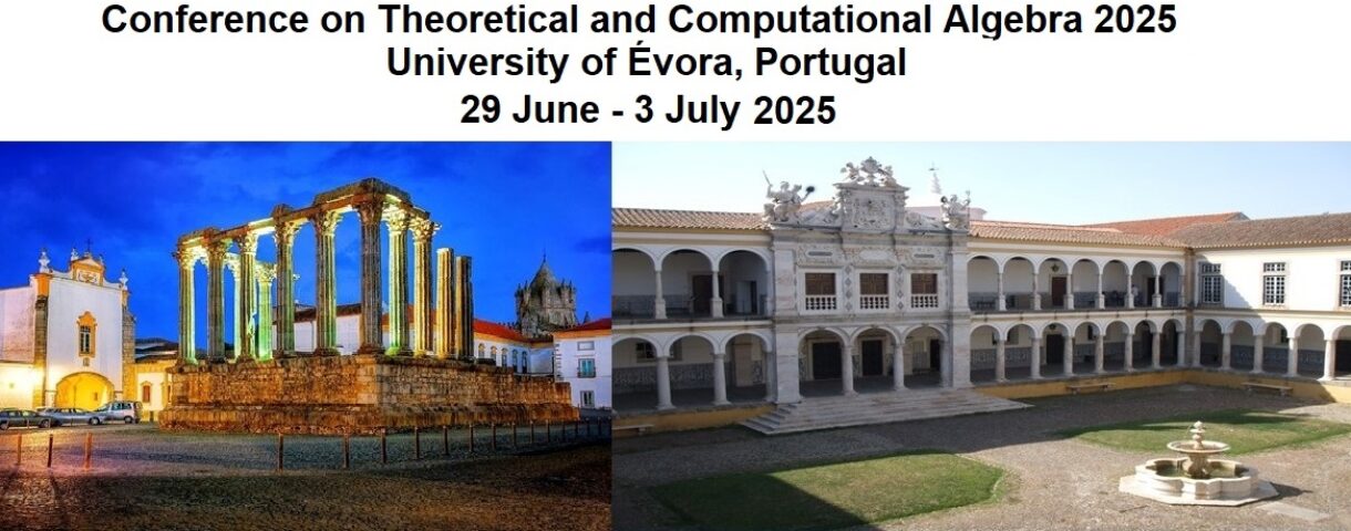
Place of the event
Universidade de Évora, see link
Colégio Espírito Santo
Largo dos Colegiais
7004-516 Évora
Portugal
GPS coordinates of the Universidade de Évora: 38.5731/-7.904408333333
Annual Fair of Évora: “Feira de S. João”
June 29th will be the last day of the Annual Fair of Évora: “Feira de S. João” , more information at: https://feirasjoao.cm-evora.pt/
GPS coordinates of the Fair: 38.56613761962758, -7.907658305665569
By Bus
From Lisbon airport go by subway (see Subway_Map) to Oriente station and there you have bus to Évora city (from Lisboa (Oriente) to Évora), see the schedule of Rede Expressos here or FlixBus here.
Other option (further away but with more buses) is to go from Lisbon airport go by subway (see Subway_Map) to Jardim Zoológico station and there you have bus to Évora city (from Lisboa (Sete Rios) to Évora), see the schedule of Rede Expressos here
By Train
From Lisbon airport go by subway (see Subway_Map) to Oriente station and there you have train to Évora city (from Lisboa – Oriente to Évora), see the schedule here